by gspeed | May 25, 2020 | GIS, Portfolio
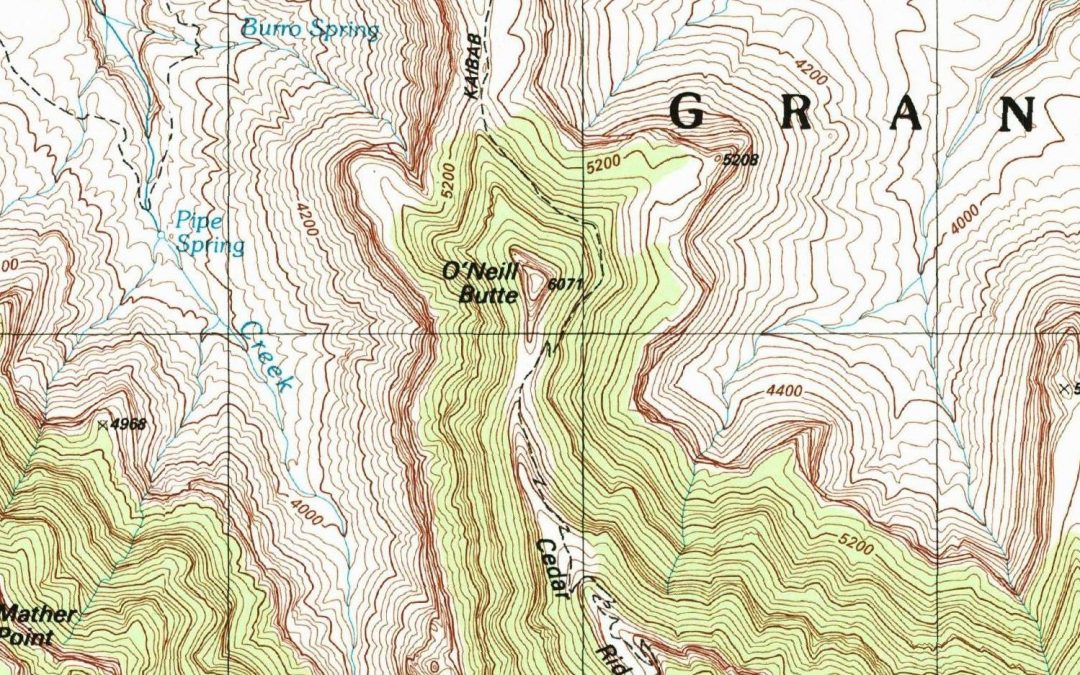
I was watching videos on Intel Realsense devices the other night and noticed a little detail in one of the videos on making a 3D image Facebook post, and quickly came up with a workflow to create a 3D USGS Topo. The technique I came up with works really well for areas...
by gspeed | Feb 23, 2020 | GIS, Portfolio
Below is my poster from the Florida Academy of Sciences 2019 on the 2017 Land O Lakes, FL sinkhole and flying a drone at the site to monitor its changes. Interactive Drone Imagery Map Comprehensive Sinkhole...
by gspeed | Dec 31, 2019 | GIS, Photography, Portfolio, Travel
This past July at the ESRI User Conference they debuted a new Story Map template that is going to replace the old Story Map template. While I have moved on from using Story Map Journal for individual travels, I thought throwing together a year in review travel Story...

by gspeed | Nov 22, 2019 | GIS, Portfolio, Travel
This morning was the University of South Florida (USF) World Global Achievement Awards recognizing international research efforts and accomplishments at USF. The research group I work for, the Digital Heritage and Humanities Collections (DHHC), was there for our work...

by gspeed | Aug 3, 2019 | GIS, Photography, Travel
This past July I had the opportunity to go to the ESRI User Conference in San Diego, CA. There I had the chance to attend the Education Summit and the main User Conference. At the Education Summit, I focused on attending sessions related to the administration of...
by gspeed | Jun 26, 2019 | GIS, Photography, Travel
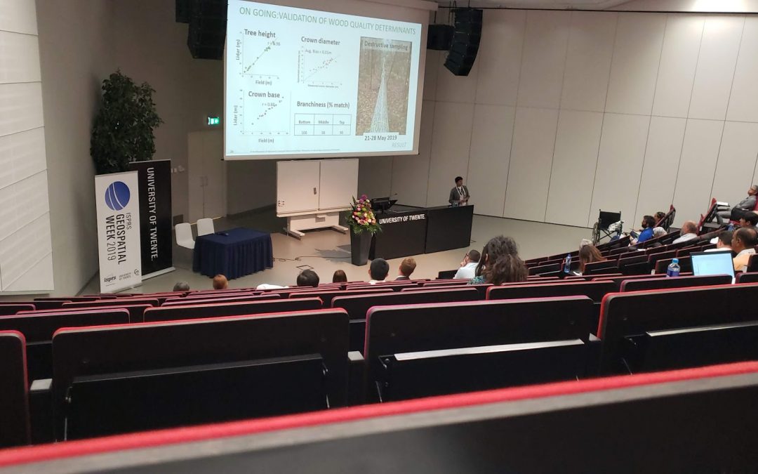
While on vacation in Europe this past May and June, I capped the end of the trip with a stop at the ISPRS Geospatial Week at the University of Twente, Enschede, Netherlands. On that vacation trip I spent two weeks in the Netherlands, visiting friends and meeting a few...
