by gspeed | Jan 18, 2026 | GIS, Programming
by gspeed | Jan 14, 2025 | GIS, Photography, Portfolio, Programming, Travel
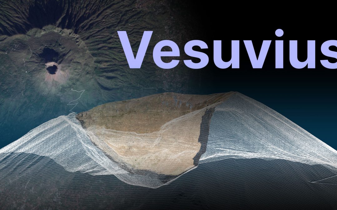
I got the chance to go to Vesuvius this past December, and while hiking the giant I made a bunch of 3D models and panoramas. I made a YouTube video about the trip, and a Streamlit app to let you explore the data from your computer. Streamlit App Zenodo Data...
by gspeed | Jan 28, 2024 | GIS, Photography, Programming
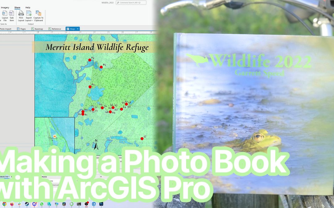
Every year I make a wildlife photo book for my close friends and family highlighting my best wildlife photos of the previous year. I make the book in ArcGIS Pro using two sets of data driven pages, maps and photo pages. The map pages show the viewer where each photo...
by gspeed | Sep 1, 2023 | GIS, Nature, Photography, Portfolio
I make a wildlife photo book for my close friends and family every year, and for the past two years it has been with the data driven pages in ArcGIS Pro. In this video I show you how I go from Lightroom to ArcGIS Pro to make a beautiful pages with information...
by gspeed | May 7, 2023 | GIS, Photography, Travel
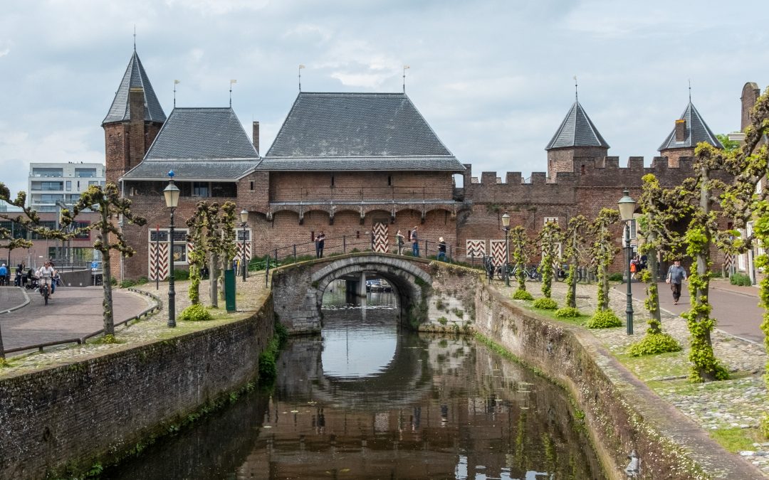
My family was visiting, and as a tourist outing we went to Amersfoort, the second largest town in Utrecht province, to have a picnic lunch and see the historic Koppelpoort. We had plenty of time in the day, so I took the opportunity to make a 3D model of the...
by gspeed | Jun 5, 2021 | GIS, Photography
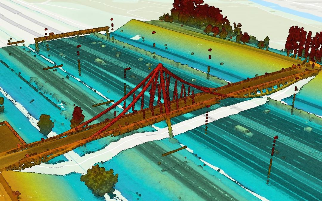
I went for a 65km bike ride from Capelle aan den IJssel through Hitland Park up to Gouda, and then a meandering ride west through Zoetermeer to Nootdorp, and while I was in Zoetermeer I passed over the Nelson Mandelabrug. The Nelson Mandelabrug is a pedestrian and...


