by gspeed | Dec 31, 2020 | GIS, Travel
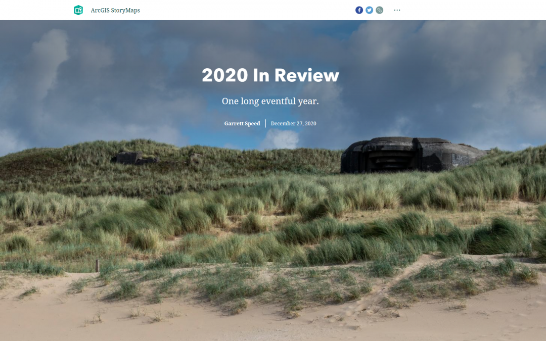
Since my 2019 story map was such a nice way to recap the year I made another one for 2020, you can see it at the link below: 2020 Year in Review Story Map
by gspeed | Dec 26, 2020 | GIS
I just earned my ESRI Desktop Associate certification on December 23, 2020. I plan on taking the ArcGIS Online Administrator specialty certification soon now that I am eligible to earn the certification. You can verify my certification by clicking on the image below,...
by gspeed | May 25, 2020 | GIS, Portfolio
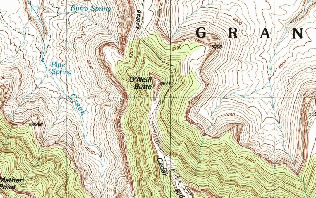
I was watching videos on Intel Realsense devices the other night and noticed a little detail in one of the videos on making a 3D image Facebook post, and quickly came up with a workflow to create a 3D USGS Topo. The technique I came up with works really well for areas...
by gspeed | Feb 23, 2020 | GIS, Portfolio
Below is my poster from the Florida Academy of Sciences 2019 on the 2017 Land O Lakes, FL sinkhole and flying a drone at the site to monitor its changes. Interactive Drone Imagery Map Comprehensive Sinkhole...
by gspeed | Dec 31, 2019 | GIS, Photography, Portfolio, Travel
This past July at the ESRI User Conference they debuted a new Story Map template that is going to replace the old Story Map template. While I have moved on from using Story Map Journal for individual travels, I thought throwing together a year in review travel Story...
