by gspeed | May 25, 2020 | GIS, Portfolio
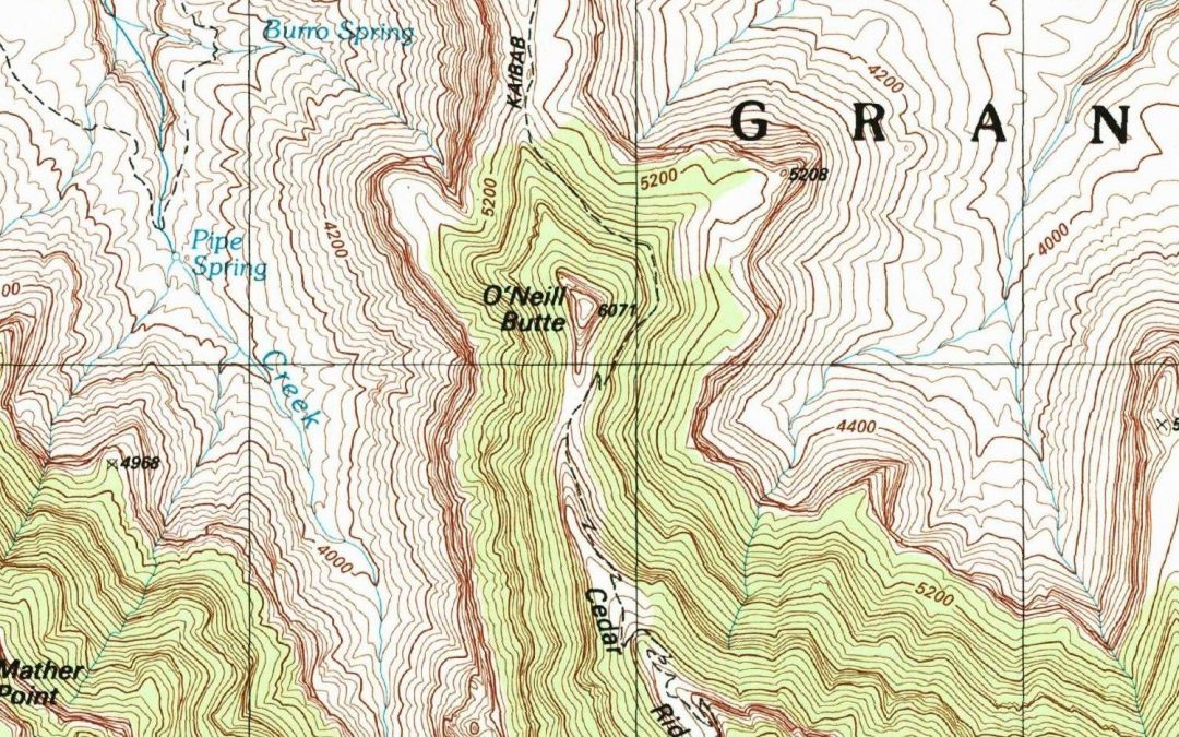
I was watching videos on Intel Realsense devices the other night and noticed a little detail in one of the videos on making a 3D image Facebook post, and quickly came up with a workflow to create a 3D USGS Topo. The technique I came up with works really well for areas...


