Skip to content

Garrett Speed, GISP

GIS and Photography Paired

  • Home
  • Résumé
  • Blog

Tag: topo

3D Topo Maps in Facebook

A section of a USGS topographic quadrangle map from the Grand Canyon

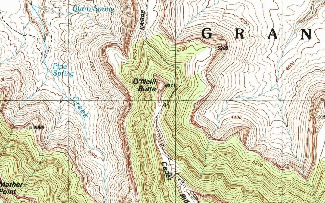
I was watching videos on Intel Realsense devices the other night and noticed a little detail in one of the videos on making a 3D image Facebook post, and quickly came up with a workflow to create a 3D USGS Topo. The technique I came up with works really well for areas with a lot… Continue reading 3D Topo Maps in Facebook

Published May 25, 2020
Categorized as GIS, Portfolio Tagged 3d, arcgis pro, topo, topographic map, usgs, usgs national map
Garrett Speed, GISP
Proudly powered by WordPress.
This website uses cookies to improve your experience. We'll assume you're ok with this, but you can opt-out if you wish.AcceptReject Read More
Privacy & Cookies Policy

Privacy Use

This website uses Wordpress which may place cookies in your browser. Iframes may be placed in the content of some blog posts, see youtube.com, sketchfab.com, facebook.com, instagram.com, and arcgis.com for their privacy policies.
Necessary
Always Enabled
Necessary cookies are absolutely essential for the website to function properly. This category only includes cookies that ensures basic functionalities and security features of the website. These cookies do not store any personal information.
Non-necessary
Any cookies that may not be particularly necessary for the website to function and is used specifically to collect user personal data via analytics, ads, other embedded contents are termed as non-necessary cookies. It is mandatory to procure user consent prior to running these cookies on your website.
SAVE & ACCEPT